
Boundary Line Survey When a Retaining Wall Runs Near the Lot Line
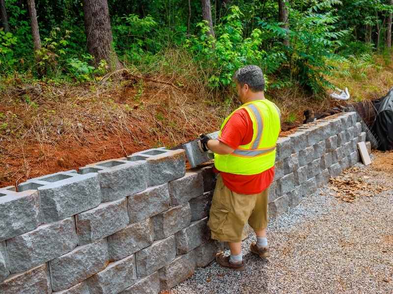
A retaining wall can stand quietly for decades until a crack, a bulge, or a lean shows up. Then the questions start fast. Who owns the wall, who pays to fix it, and whose land will the repair crew be standing on? Most of those answers begin with one fact that many owners don’t actually know, which is exactly where the lot line runs.
A boundary line survey is a professional survey that locates the legal lines of a property on the ground. A licensed surveyor researches deeds, plats, and nearby records, then finds or sets markers at the property corners. When a retaining wall sits near the line, the survey shows where the wall falls compared to that boundary. That information shapes repair plans, neighbor conversations, and future projects.
If you’re planning to repair, replace, or build near a wall close to the line, order the survey first. It’s far easier to plan around the facts than to fix a problem after work begins.
Why Retaining Walls Near Lot Lines Need Boundary Verification
Retaining walls near lot lines raise questions that a fence or hedge usually doesn’t. A wall holds back soil, so it affects both properties on either side. If it fails, the damage can spread to the neighbor’s yard, driveway, or foundation. Knowing where the wall sits helps everyone understand what’s at stake.
Many older walls were built without a survey. Builders often placed them where the grade changed, not where the legal line fell. Over time, owners came to treat the wall as the boundary. That assumption can be off by inches or by several feet.
Ownership and responsibility for a wall can depend on deeds, recorded agreements, and state law. The survey doesn’t decide those legal questions. It gives you and your attorney the accurate location information needed to answer them.
Locating the Wall in Relation to the Property Boundary
The surveyor locates the wall by measuring it directly and tying those measurements to the boundary. The crew first confirms the property lines using existing markers and record research. Then they measure the top of the wall, the face of the wall, and its ends. The final drawing shows exactly where the wall sits compared to the line.
The visible face isn’t the whole story. Many retaining walls have parts you can’t see:
- A footing, which is the wide base below ground that supports the wall
- Drainage stone and pipes placed behind the wall
- Reinforcement material that extends back into the soil
- Tiebacks or anchors on some larger walls
These hidden parts may extend several feet behind the face. On a wall near the line, they could cross onto the neighbor’s property even if the face doesn’t. Share any original wall plans with your surveyor and engineer if you have them.
Walls that lean, bow, or step also need careful measurement. The surveyor may take readings at several heights to show how far the wall has moved. That detail can help an engineer understand the wall’s condition.
Checking Encroachments, Setbacks, and Existing Site Features
An encroachment happens when a structure from one property sits partly on another. A boundary line survey can show whether a retaining wall, its footing, or nearby features cross the line. It can also show whether a neighbor’s wall, fence, or patio crosses onto your land. Both situations matter before any work begins.
Setbacks may also apply. A setback is the required distance between certain structures and a property line. Rules for walls vary by municipality, and some places treat walls differently depending on height. Check with your local building or zoning office about what applies to your wall.
The survey can also show site features that affect the project. These may include steps, fences, driveways, trees, drainage paths, and utility structures near the wall. Recorded easements can matter too, especially if utilities or drainage run along the line. Knowing about these features early helps you plan access, drainage, and construction limits.
Using Survey Data Before Wall Repair or Replacement
Survey data gives your engineer and contractor a reliable base for the repair or replacement plan. It shows where work can happen without crossing the line. It also helps the design team decide whether a new wall should sit in the same spot or move back. That choice can affect cost, drainage, and neighbor relations.
Many municipalities require a permit for retaining wall work, and some require a design from a licensed engineer for taller walls. Requirements vary by location and wall size. If a permit is needed, the reviewer may ask for a drawing that shows the wall and the property lines. A current survey can support that submittal.
Consider adding elevation information to the survey. A topographic survey shows the height of the ground on both sides of the wall and how water moves across the area. Engineers often need this to design a safe replacement. Asking for it at the same time can save a second site visit.
If the work will require access to the neighbor’s property, talk with them early. A written access agreement may be needed for crews and equipment. An attorney can help with the details.
Documenting the Boundary for Future Property Improvements
Once the boundary is confirmed, keep that record for future use. A signed survey drawing becomes a valuable document for your property. It helps with later projects like fences, additions, driveways, and landscaping. It can also help if you sell the property.
Ask your surveyor to leave clear markers at the corners. If markers already exist, ask whether they were checked and accepted. Protect those markers during wall work so they aren’t lost. If a marker is disturbed, contact the surveyor instead of trying to reset it yourself.
Store the survey with your deed, title policy, and any wall plans or permits. Share copies with contractors before future work begins. If you and your neighbor sign an agreement about the wall, keep that with your records as well.
