
The Different Types of Land Surveys and When You Need Each One
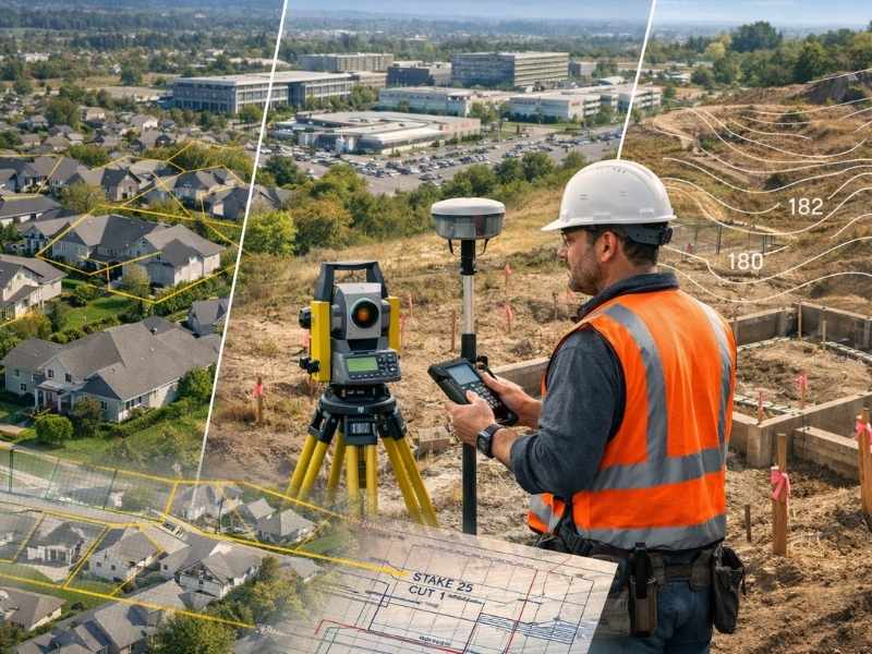
The main types of land surveys are boundary, ALTA/NSPS land title, topographic, mortgage, subdivision, construction staking, and elevation surveys. Each one answers a different question about a property. The right choice depends on what you are trying to do, so picking the correct survey saves you both time and money.
Have you ever been told you need “a survey” before building a fence or buying property? Many people are surprised to learn that land surveying is not just one service. There are several different types, and each has its own job. Ordering the wrong one can lead to delays and extra costs.
Land Survey Types at a Glance
| Survey type | What it shows | When you need it |
| Boundary survey | Property lines, corners, and markers | Fences, disputes, or confirming lot lines |
| ALTA/NSPS survey | Boundaries plus easements and other details | Commercial purchases and loans |
| Topographic survey | Elevation, slopes, and features | Site design and drainage planning |
| Mortgage survey | Where buildings sit on the lot | Many home closings |
| Subdivision survey | How land is split into lots | Dividing land to sell or build |
| Construction staking | Where to build on the ground | Before and during building |
| Elevation survey | Height compared to flood levels | Flood insurance and flood zones |
1. Boundary Survey
A boundary survey finds, measures, and marks the legal property lines and corners of a piece of land. This is the most common type of home survey. It is what most people mean when they say they need a survey to settle a property line.
The surveyor first studies the deed and records maps. Then they measure the land in the field and place markers at the corners. The result shows you exactly where your land starts and ends. You will want this survey before building a fence, planning an addition, or solving a disagreement with a neighbor.
2. ALTA/NSPS Land Title Survey
An ALTA/NSPS survey is a detailed survey that follows the same rules across the whole country. It includes the boundaries plus easements, buildings, and other title details. It is used mostly in commercial property deals to satisfy banks and title companies.
ALTA stands for the American Land Title Association, and NSPS stands for the National Society of Professional Surveyors. The first standards were created in 1962 and have been updated about ten times since then. The current rules took effect on February 23, 2021. These standards are updated about every five years and are trusted by buyers, lenders, and lawyers across the nation.
The big benefit of this survey is that it is the same everywhere. A surveyor in Pennsylvania and one in another state follow the same minimum rules. There is also a list of optional extras, called Table A, that the buyer and seller can request. This is why it is seen as the gold standard for major business deals.
3. Topographic Survey
A topographic survey maps the shape of the land. It records the elevation, slopes, and features such as trees, ditches, and buildings. Engineers and architects use it to plan grading, drainage, and where a building will sit.
While a boundary survey is about lines, a topographic survey is about shape. The results are often shown as contour lines that connect points of equal height. If you are designing a new building or worried about how water drains across a property, this is the survey you need.
4. Mortgage Survey
A mortgage survey, sometimes called a location survey, is a simple survey. It shows roughly where the buildings sit compared to the property lines. Lenders often ask for it when someone is buying a home.
This survey checks that the house sits inside the lot lines and that nothing is obviously crossing onto a neighbor’s land. Because it is lighter than a full boundary survey, it is faster and cheaper. However, you should not use it to place a fence or settle a dispute, since it is not precise enough for those jobs.
5. Subdivision Survey
A subdivision survey splits one piece of land into two or more separate lots. It creates new legal descriptions and an official map that can be recorded. Builders and landowners use it when they want to sell or develop separate parcels.
Dividing land is controlled by local rules, so this survey involves both fieldwork and approval from the city or county. Once the new map is approved and recorded, the land legally becomes several distinct lots.
6. Construction Staking
Construction staking is the work of placing stakes in the ground to show exactly where to build. It turns the design plans on paper into real positions on the site. The stakes guide the crew on where roads, pipes, and buildings should go.
This is surveying that supports the act of building. The surveyor takes the approved plans and marks them on the ground so the crew builds in the right spot at the right height. Mistakes here can be very costly, which is why careful staking matters so much.
7. Elevation Survey
An elevation survey measures the height of the ground and of a building compared to an official flood level. It supports flood insurance forms and helps property owners follow flood zone rules.
If your property sits in or near a flood zone, this survey gives insurers the height data they need. It is often the key piece for getting fair and accurate flood insurance pricing.
How to Choose the Right Survey
The right survey depends on your goal, not just the price. Here is a quick way to decide:
- Settling a line or building near it? Boundary survey.
- Buying commercial property? ALTA/NSPS survey.
- Designing or grading a site? Topographic survey.
- Closing on a home? Mortgage survey.
- Splitting land into lots? Subdivision survey.
- Ready to build? Construction staking.
- Dealing with flood insurance? Elevation survey.
When you are unsure, just describe your project to a licensed surveyor before you order. Choosing the wrong survey is one of the most common and easily avoided costs property owners face.