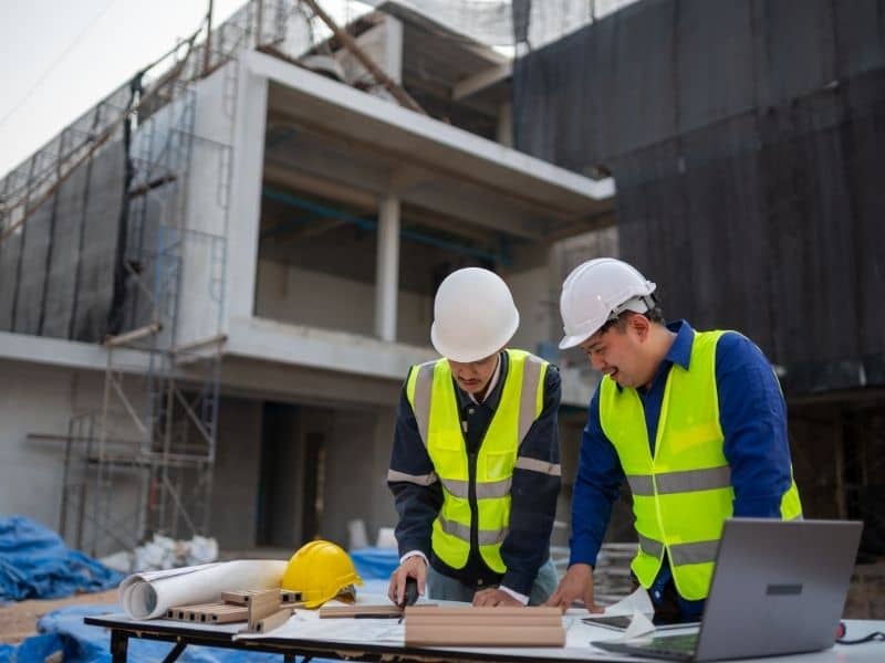
Redeveloping an old building in Pittsburgh sounds easy at first. Tear down the old stuff, put up something new, and move on. But anyone who has worked on one of these projects knows it almost never goes that smoothly. A construction survey is one of the first steps that needs to happen. It is often the one step that saves a project from big, costly surprises later.
Pittsburgh has a lot of old properties. Many of them sit on top of years of hidden history. Old pipes, hidden slopes, retaining walls nobody wrote down, and buildings that were never mapped out the right way. Without a clear picture of what is really there, contractors are just guessing. And guessing on a job site gets expensive fast.
So let’s look at why this step matters so much. We will also see how it shapes the success of redevelopment work across the city.
Why Existing Utilities Can Complicate Redevelopment Projects
Older properties in Pittsburgh often sit on top of underground utilities. These were put in the ground decades ago. Water lines, sewer systems, gas lines, and even old pipes from buildings that no longer exist can all be buried under the surface. In many cases, the original records for these utilities are missing or incomplete.
This causes a real problem once work begins. A crew digging for a new foundation might hit a gas line that was never on any map. Or they might break a sewer line that still serves the house next door. These problems cause delays. They also create safety risks and repair costs nobody planned for.
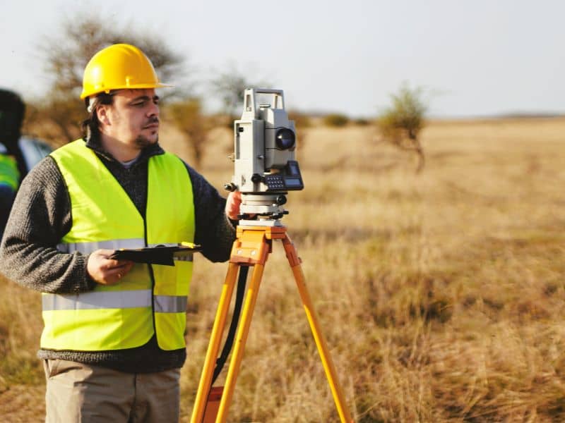
This is where a construction survey proves its worth. Surveyors find and record these underground features before any digging starts. Because of this, the design team can plan around the utilities instead of running into them by accident. It is a simple step, but it stops a lot of headaches down the road.
How Construction Surveys Help Tie New Improvements Into Older Site Features
Most redevelopment projects do not start with a clean, empty lot. New buildings, parking lots, or roads usually need to connect to structures that already exist. That connection has to line up the right way, or the whole site ends up looking off.
This is where construction surveys really help. Surveyors set up exact control points. These points tie the new work into the older parts of the site. So when a builder adds a new parking lot next to an older building, the heights, edges, and entrances actually match up the way they should.
Without this kind of control, problems show up fast. Curbs that do not line up right. Driveways with strange bumps in them. Sidewalks that do not connect the way they are supposed to. These problems are hard and costly to fix once the concrete is down. Getting the survey work right from the start makes everything after it go much smoother.
Why Elevation Differences Matter on Pittsburgh Redevelopment Sites
Pittsburgh’s hills are part of what makes the city interesting. They also make construction harder. Many redevelopment sites sit on slopes, near retaining walls, or on lots with grade changes that are not easy to see just by looking around.
These height changes affect almost every part of a build. Drainage has to flow the right way, or water ends up pooling where it should not. Foundations need correct grade numbers to be built properly. Retaining walls need careful checking too, since even a small mistake can lead to big structural problems later on.
Accurate construction surveys give builders the elevation numbers they need to handle all of this the right way. Instead of guessing how a slope behaves, they have real data to work from. That means fewer surprises with drainage, fewer grading mistakes, and a site that works the way it was meant to.
Construction Surveys Help Coordinate Demolition and New Construction
Redevelopment usually means something old has to come down before something new can go up. That sounds simple, but tearing down a structure near other buildings, utilities, or property lines takes careful planning.
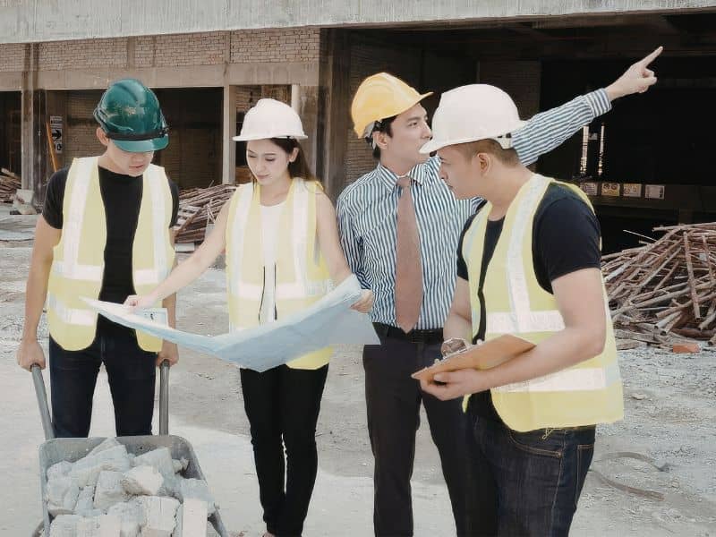
Construction surveys give demolition crews the layout details they need to work safely. Surveyors mark out boundaries. They point out what needs to stay untouched. They also give reference points that keep the project on track. Because of this, crews can take down old structures without harming nearby features that are supposed to remain standing.
This kind of teamwork matters even more on tight city lots, and Pittsburgh has plenty of those. When space is limited, there is little room for mistakes. A solid survey keeps demolition crews and construction crews working together instead of working against each other.
Redevelopment Projects Need Accurate Records for Future Expansion
A lot of redeveloped properties do not stay the same for long. Owners add on to them, update the utilities, or expand the site again a few years later. When that happens, the original survey records become very useful.
Keeping accurate survey control during the first phase of construction creates a solid record for the future. So when a new addition gets designed later, the team does not have to start from zero. They already have real, documented data about grades, utility locations, and property lines to work from.
This saves time and money on future projects. It also lowers the risk of running into conflicts with what is already built. Good records today make tomorrow’s work a lot easier. That is exactly why this step should never be skipped or rushed.
Frequently Asked Questions
Why are construction surveys important when redeveloping older properties?
Construction surveys give accurate reference points that help contractors connect new work to the existing site. This helps redevelopment projects move forward with more confidence.
What challenges do older properties present during construction?
Older sites may have unknown utilities, changing elevations, retaining walls, and infrastructure that was put in many years ago. These conditions often need careful planning during redevelopment.
Can a construction survey help when buildings are being demolished?
Yes. Construction surveys help set up control points and layout details. These let demolition crews and construction crews work together the right way.
Why are elevation changes important on Pittsburgh properties?
Pittsburgh’s land often has steep slopes and changing grades. Construction surveys help builders keep the right elevations for buildings, roads, and drainage systems.
Who benefits from construction surveys on redevelopment projects?
Developers, builders, engineers, contractors, architects, and property owners all depend on construction surveys to keep redevelopment projects organized and lined up correctly.

 Land Surveyors are professionals who make precise measurements to determine the size and boundaries of a piece of real estate. While this is a simplistic definition, boundary surveying is one of the most common types of surveying related to home and land owners. If you fall into the following categories, please click on the appropriate link for more information on that subject: